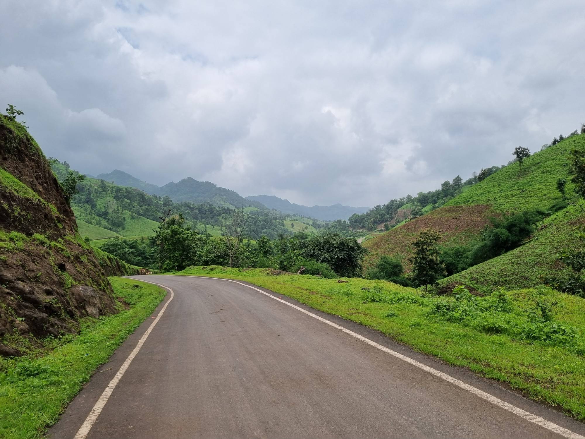
Vadodara → Padamla
Yog Niketan, Vadodara → Padamla → Yog Niketan, Vadodara
Vadodara → Padamla A popular 35–40 km quick morning ride from Vadodara, starting and finishing at Yog Niketan. The Padamla route is a regular choice among local riders looking to get some early-morning kilometres in without committing to a long-distance ride. The route takes you out towards Padamla and back, making it ideal for a quick weekend training ride, with enough distance to work on pacing, cadence and endurance while still being manageable within a morning.

Elevation Profile
36–54 m over 26.07 km🚴 Vadodara to Padamla Cycling Route
The Vadodara to Padamla cycling route is a popular 35–40 km morning cycling route from Yog Niketan, ideal for Vadodara cyclists looking for a quick weekend ride. Following the same highway towards Vasad and Gallops, the route turns back a few kilometres before Vasad, making it a shorter alternative to the longer Gallops circuit.
The ride offers a mix of highway cycling, open-road riding and endurance training, although traffic remains significant along the route. Riders should stay alert, maintain a safe line and avoid chasing speed on busy sections.
With its manageable distance and straightforward route, Padamla is a great early-morning cycling ride in Vadodara for building cycling endurance, road confidence, cadence and pacing without committing to a 70–100 km ride.
Best for: Morning rides · Weekend cycling · Endurance training · Highway cycling · Beginner-to-intermediate riders · Vadodara cycling groups
Highlights
- ✦35–40 km Quick Morning Ride
- ✦Starts and Finishes at Yog Niketan
- ✦Highway Route Towards Padamla
- ✦Same Route Towards Vasad & Gallops
- ✦Turns Back Before Vasad
- ✦Busy Highway Traffic
- ✦Good for Endurance Training
- ✦Popular Among Vadodara Cyclists
- ✦Suitable for Beginner to Intermediate Riders
Source: Trimmed route export (Strava)
Farthest point sits ~350m from Padamla village, Ranoli (Vadodara district) — strong geographic match. No timestamp data in this GPX, so duration/speed can't be computed. Start/finish sits ~4.5km from the coordinates used on other Yog Niketan routes (22.3255, 73.1355), same as the updated Vasad Toll route — flagged for confirmation. Rest-stop/food/best-time fields are intentionally copied from the Vasad Toll route (same physical start/finish point), per instruction.
This page is personally verified by Sloww Cheetah — see our disclaimer for how community contributions are handled.
Practical Information
- Difficulty
- Easy
- Food
- Poha at Masi, Fatehgunj — near the finish, within 500m of Yog Niketan.
- Rest Stops
- Ganesh (tea) and Masi (poha), both within 500m of the finish at Yog Niketan.
- Best Time
- Morning
- Best Season
- All Season
- Terrain
- FlyOvers
- Surface
- Road
- Traffic
- Signifigant
- Road Quality
- Good
- Safety
- Carry Light / Reflector, Tail Light,