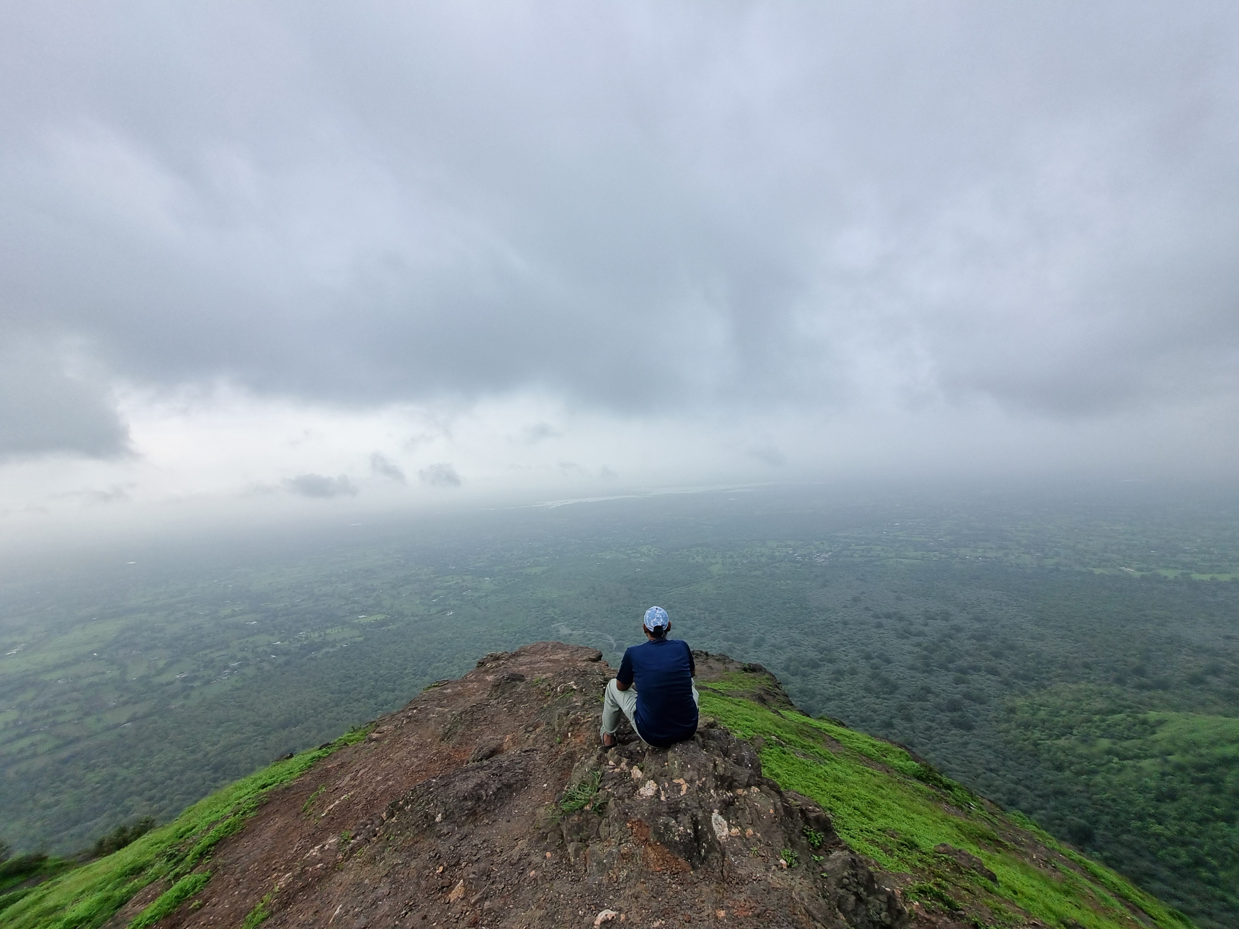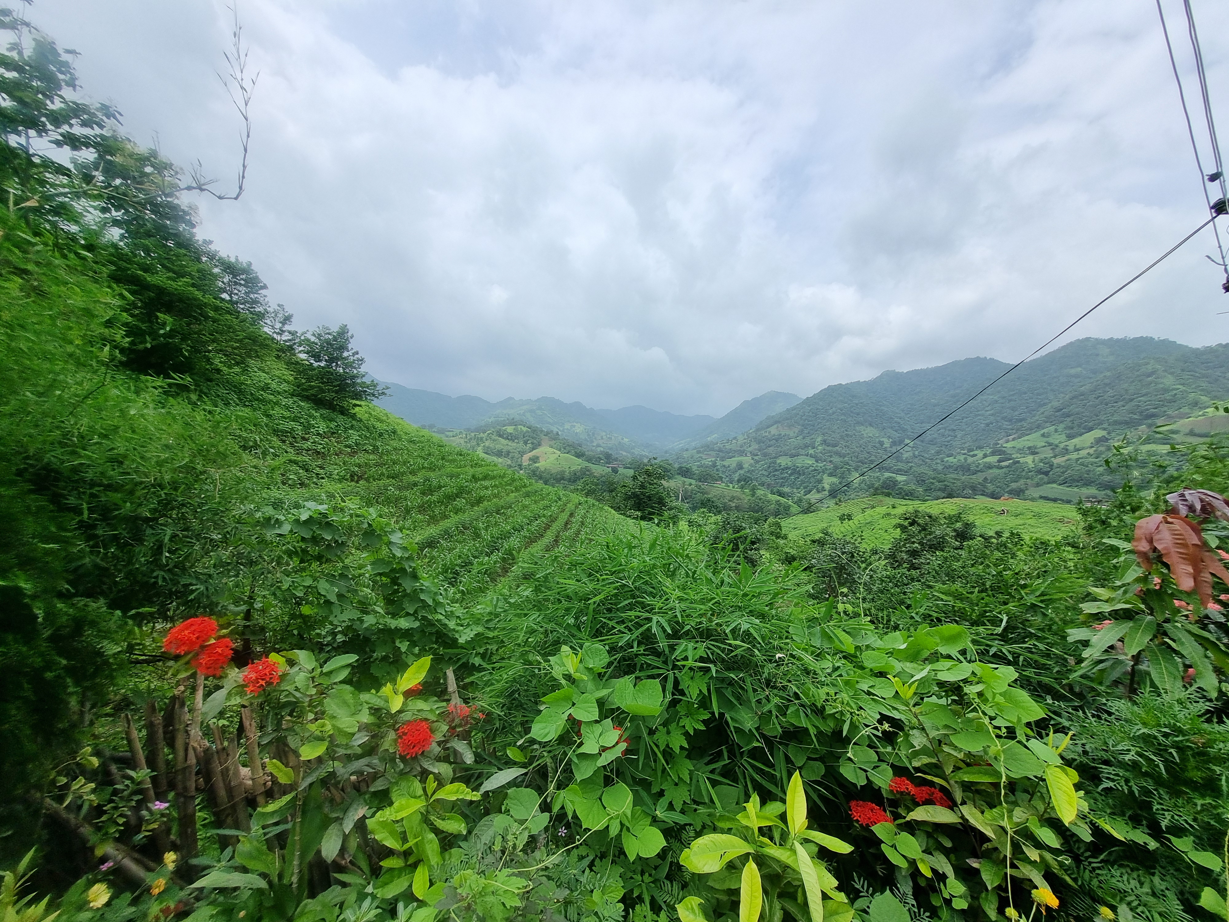
Dev Hatra
Kamodiya → Dev Hatra → Kamodiya
An 8km loop through Dev Hatra in Gujarat's Narmada district — a real, GPS-recorded route with a demanding elevation profile packed into a short distance.
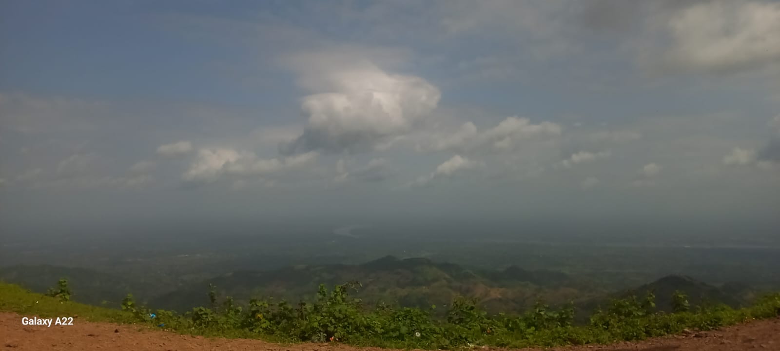
Elevation Profile
228–793 m over 8 kmOverview
Dev Hatra is an 8km route near the Narmada region of Gujarat, starting and finishing at Dev Hatra itself. The GPX track shows over 850 metres of both ascent and descent compressed into a short distance, swinging between a low point of 228 m and a high point of nearly 793 m — a route that packs real elevation change into a compact loop.
What to Expect
Total time on this route runs to roughly 6 hours 16 minutes, against a moving time of under 2 hours — a gap that suggests significant rest, navigation, or terrain-related stops. Terrain type, trail marking, and difficulty rating have not been verified yet and are intentionally left blank rather than guessed.
Ready to Explore?
Full trail notes, difficulty rating, and seasonal guidance are being added as they're verified on the ground. Check back as this listing fills in.
Practical Information
Pending editorial input — permits, water sources, best season and safety notes will go here once confirmed.