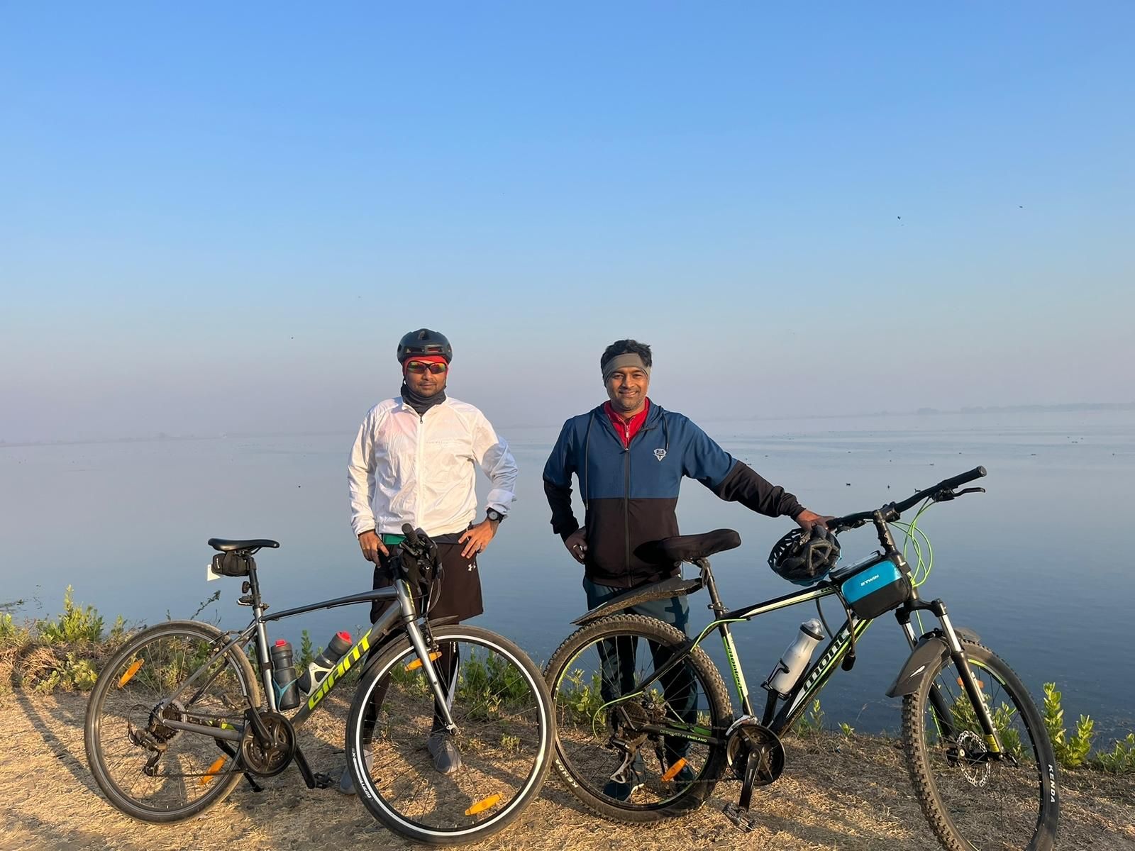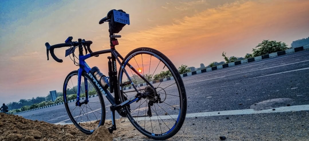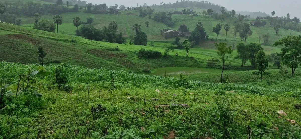
Vadodara → Pavagadh
Yog Niketan, Vadodara → Pavagadh → Yog Niketan, Vadodara

Elevation Profile
37–185 m over 100.42 kmEditorial content — route description, personal experience, and trail notes — goes here as MDX body content. Left intentionally blank pending your input; nothing here is invented.
Source: Strava export, personal ride (Strava)
Recorded 28 Oct 2023. Farthest point sits a few km from Pavagadh Hill (22.484N, 73.529E) — likely the base area rather than the summit. This is a cycling route, distinct from any future Trekking content covering Pavagadh itself. Elevation gain kept as raw GPX data. GPX retrimmed (2026-09-07): distance 114.77km -> 111.68km, gain 401.2m -> 421.3m, loss 400.1m -> 421.3m, high 185.7m -> 185.7m, low 32.1m -> 34.9m.
This page is personally verified by Sloww Cheetah — see our disclaimer for how community contributions are handled.
Practical Information
- Difficulty
- Easy